world_110m
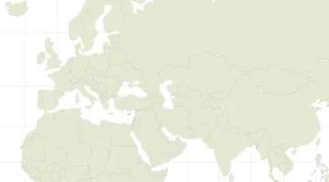
World land and country boundaries at 1:110 million scale
A 1:110,000,000-scale world map in TopoJSON format, optimized for web-based visualization. The simplified geographic boundaries focus on two key elements: land masses and country borders with their corresponding codes. The high level of generalization removes small geographic details while maintaining recognizable global features, making it ideal for overview maps and basic world visualizations. This format provides efficient compression compared to GeoJSON, reducing file size for web use. Part of the widely-used TopoJSON World Atlas collection, this has become a standard resource for creating web-based world maps where precise boundary detail isn't required.
Explore
Examples
-
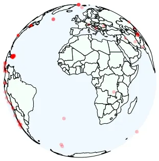 Earthquakes Example Open in Vega Editor
 -
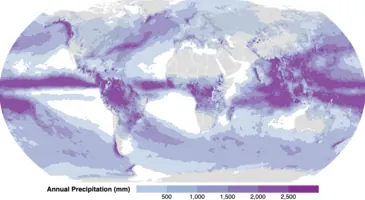 Annual Precipitation Open in Vega Editor
 -
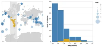 Interval Selection on a Map Python Source
 -
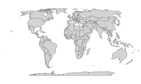 Projection explorer Open in Vega Editor
 -
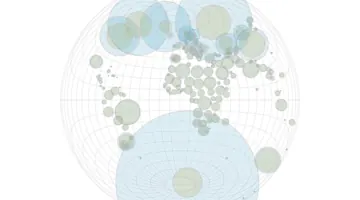 Distortion Comparison Open in Vega Editor
 -
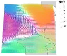 Wind Vector Map Python Source
 -
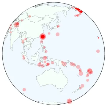 Earthquakes Open in Vega Editor
 -
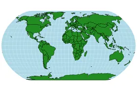 World Map Python Source
 -
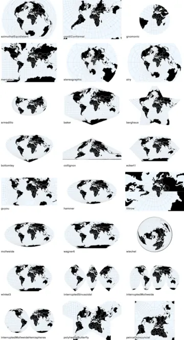 Projections Open in Vega Editor
 -
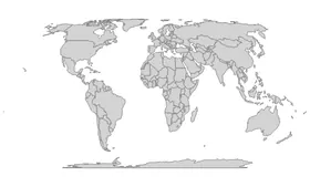 World Projections Python Source
 -
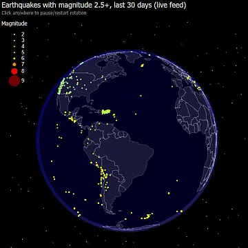 Rotating Globe Open in Vega Editor
 -
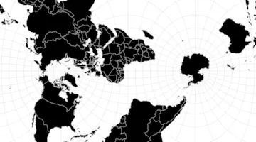 World Map Open in Vega Editor
 -
 Zoomable World Map Open in Vega Editor
Vega and Vega-Lite examples open in the Editor with this dataset loaded. Altair examples link to their Python source.
Provenance
- Source
- License
-
- TopoJSON World Atlas ISC License (ISC)
- Natural Earth Data Public Domain (other-pd)
- File
data/world-110m.json· 119,410 bytes · View on GitHub