us_10m
U.S. land, state and county boundaries at 1:10 million scale
US county boundaries represented at a 1:10,000,000 scale in TopoJSON format, which optimizes for smaller file sizes. Similar to offerings in the TopoJSON US Atlas collection, which in turn is a redistribution of the Census Bureau's cartographic boundary shapefiles.
TopoJSON 642 KB 21 gallery examples 21 examples
Explore
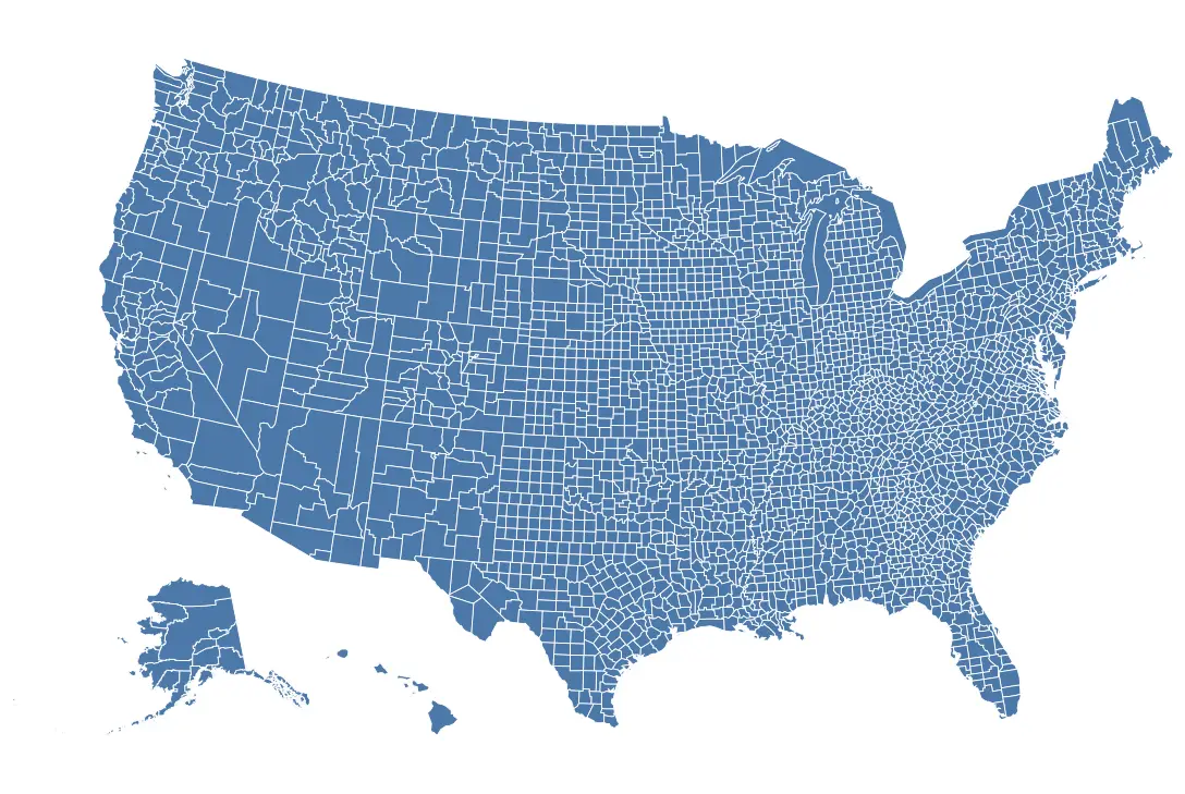
Vega-Lite · geoshape mark · albersUsa projectionVega-Lite · geoshape mark · albersUsa projection
Open This Chart in the Vega Editor Examples
-
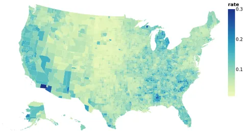 Choropleth of Unemployment Rate per County Open in Vega Editor
 -
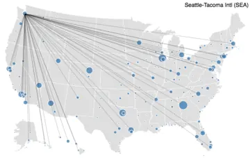 Airport Connections Open in Vega Editor
 -
 Choropleth Map Python Source
 -
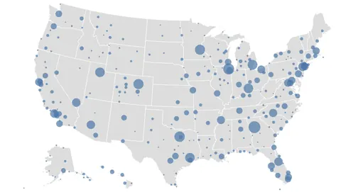 Connections among Major U.S. Airports. Open in Vega Editor
 -
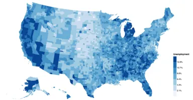 County Unemployment Open in Vega Editor
 -
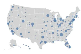 Connections Among U.S. Airports Interactive Python Source
 -
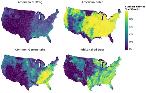 Faceted County-Level Species Habitat Maps Open in Vega Editor
 -
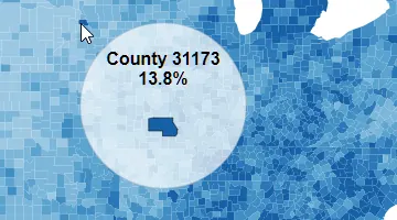 Custom Tooltip Open in Vega Editor
 -
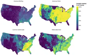 Faceted County-Level Choropleth Maps Python Source
 -
 Income in the U.S. by State, Faceted over Income Brackets Open in Vega Editor
 -
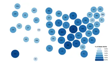 Dorling Cartogram Open in Vega Editor
 -
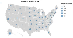 Grouped Points with Proportional Symbols Map Python Source
 -
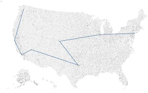 Line between Airports in the U.S. Open in Vega Editor
 -
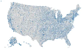 Point map Python Source
 -
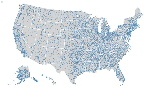 One Dot per Airport in the U.S. Overlayed on Geoshape Open in Vega Editor
 -
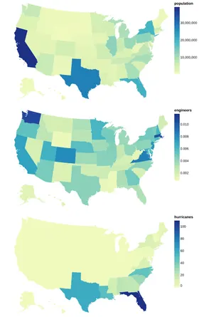 Repeated Choropleth Map Python Source
 -
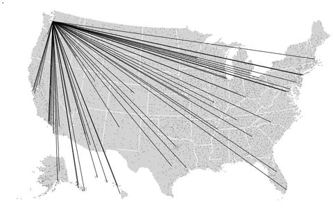 Rules (line segments) Connecting SEA to every Airport Reachable via Direct Flights Open in Vega Editor
 -
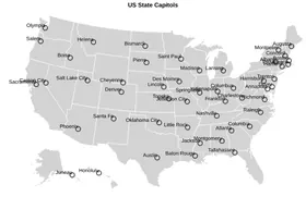 U.S. State Capitals Overlaid on a Map of the U.S Python Source
 -
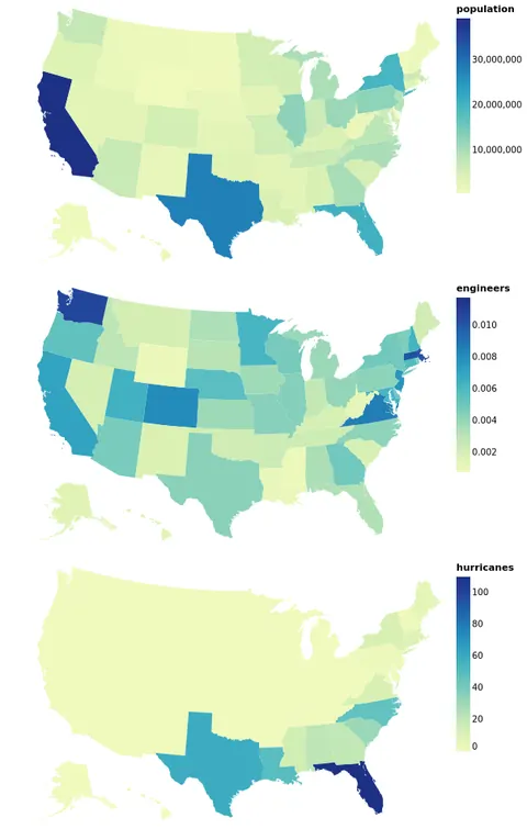 Three Choropleths Representing Disjoint Data from the Same Table Open in Vega Editor
 -
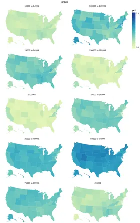 US Income by State: Wrapped Facet Python Source
 -
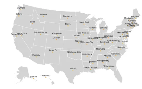 U.S. State Capitals Overlayed on a Map of U.S. Open in Vega Editor
Vega and Vega-Lite examples open in the Editor with this dataset loaded. Altair examples link to their Python source.
Provenance
- Source
- License
- File
data/us-10m.json· 642,361 bytes · View on GitHub